WOCAT SLM Watershed Tool
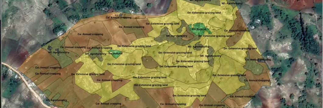
The Watershed Tool helps to categorize and map different land use/land management types, calculate their runoff rates, and determine their contribution to the total watershed runoff from daily rainfall events.
- Home
- WOCAT SLM Watershed Tool
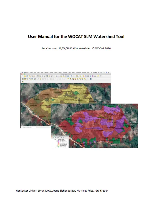
The Watershed tool is a prototype that helps to assess and illustrate the impacts if land management on the runoff from different land uses and land management and their contribution to the total outflow from the watershed. It offers to explore different land management scenarios and the potential for reducing disaster risks related to floods. It helps to use available Google Earth images, delineate the land use / management in a open source QGIS application and to explore the potential of improved land management in watersheds affected by floods. The tool is used in participatory mapping and assessment including land users watershed planners and SLM implementing projects and agencies.
The watershed tool was developed based on a first application developed for a project in Tajikistan. The tool was further developed and applied in two case studies to assess the impacts of land management on foods and springs.
--> A prototype is available upon request wocat.cde@unibe.ch
