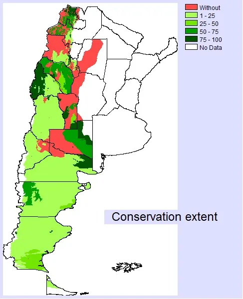
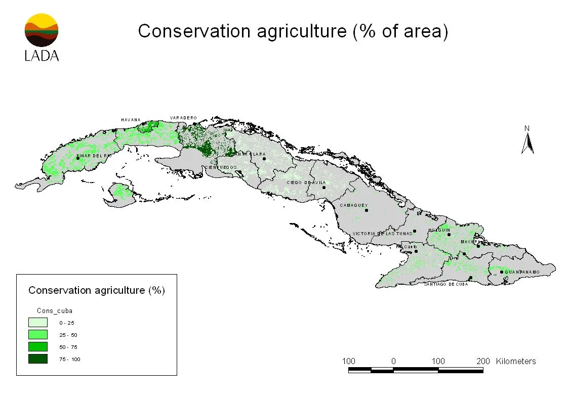
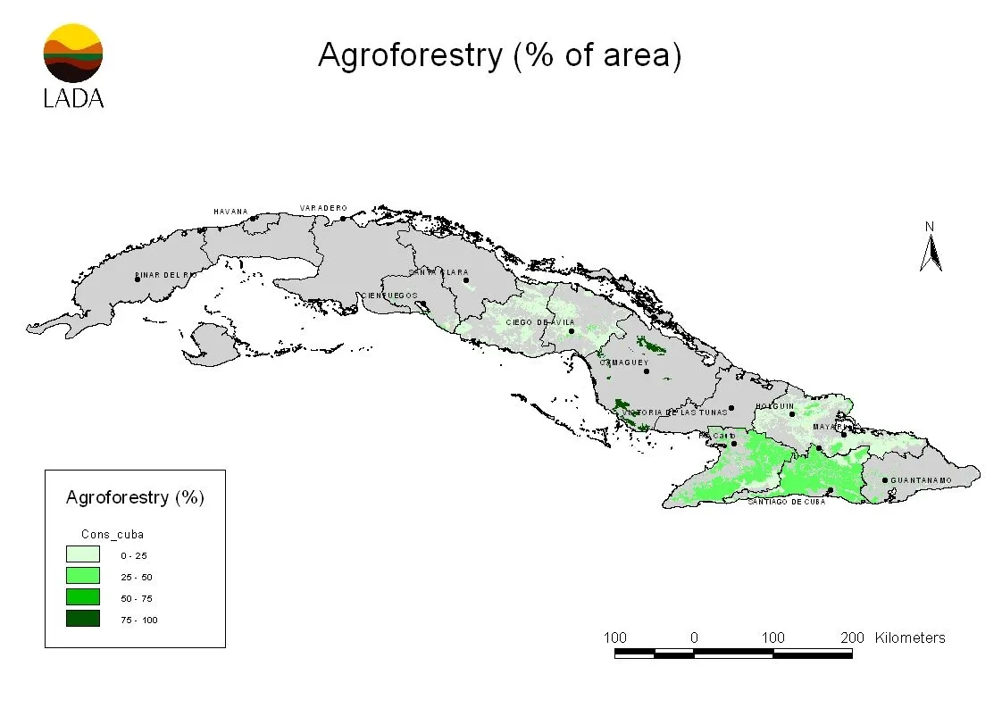
LADA conservation maps
The WOCAT-LADA land degradation and SLM Mapping Questionnaire (QM) has been developed to analyse and depict the spatial distribution of SLM and land degradation processes, causes, and impacts.
Land management at the landscape/ watershed level combines local land management in different land use types, fulfilling multiple claims and functions, with impacts on the whole landscape/ watershed. This includes interactions on a slope from hilltop to valley, up- and downstream within a watershed, or “up”- and “downwind” within a region affected by wind (and dust storms).
Land management at the local level addresses individual land management practices ranging from smallholder to large-scale practices within a large variety of Land Use Types (LUTs) such as cropland, grazing land, forest/ woodlands, mixed land, etc. It does not address the combination of various land management practices within a landscape, watershed, or administrative area.
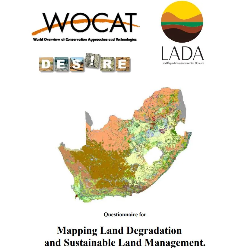
The WOCAT-LADA land degradation and SLM Mapping Questionnaire (QM) has been developed to analyse and depict the spatial distribution of SLM and land degradation processes, causes, and impacts.
The mapping database, developed in 2009, is now offline and all documented maps. Here you can find an overview of all data as an excel file documented with the Questionnaire for Mapping from the old mapping database.
