Land Degradation Neutrality Transformative Projects and Programmes (LDN-TPP) for sustainable agriculture and rural development [Georgia]
- First published:
- 2021-07-29 17:22
- Updated:
- 2021-07-29 14:39
- Compiler:
- Daniel Zollner
- Editors:
- Anneliese Fuchs, Michael Huber
- Reviewers:
- Rima Mekdaschi Studer, William Critchley
Community Land Use Planning in Arkhiloskalo [Georgia]
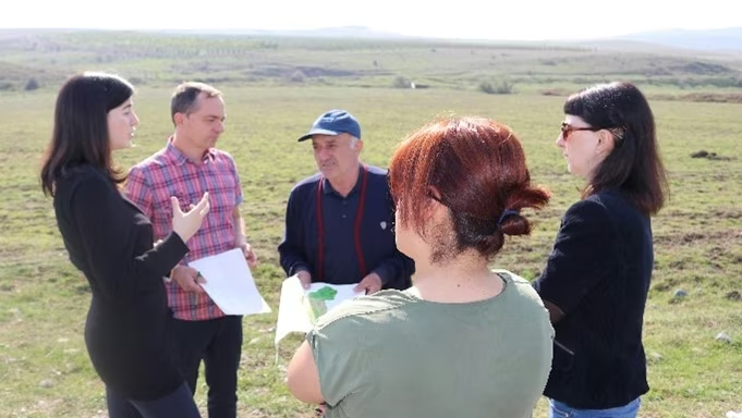
Unsustainable land use practices, such as deforestation, overgrazing and improper agricultural management systems are triggering the loss and degradation of valuable land resources in Georgia. Land use planning is one of the measures among others to contribute to support the integration of good Landscape and Sustainable Land Management (L-SLM) principles and practices into national policy and institutional framework to ensure the adoption of economically viable practices by rural communities. This technology is demonstrated in an application in Arkhiloskalo community in Eastern Georgia.
- Compiler:
- Hanns Kirchmeir
- First published:
- 2020-04-30 11:14
Remote Sensing as a Tool for Land Degradation Neutrality Monitoring [Georgia]
Land degradation contributes to biodiversity loss and the impoverishment of rural livelihoods in Tusheti. Above all, however, land degradation are triggered by climate change as traditional land use practise might not be adapted to new climate conditions which can cause or speed up degradation processes significantly. On the other hand, degraded land often leads to low biomass volumes and this reduces the ecosystem capability to stabilise local climate conditions. The concept of Land Degradation Neutrality (LDN) and the method of using remote sensing for monitoring land degradation are tools to identify the need for local planning processes. This showcase describes the LDN monitoring concept, national targets and the technology to assess indicators, mechanism and incentives for LDN.
- Compiler:
- Hanns Kirchmeir
- First published:
- 2020-08-31 13:02