About the Project
- Home
- Decision Support in Land Degradation Neutrality (DS4LDN)
- About the Project
Background
Mapping land degradation (LD) is imperative to achieve Land Degradation Neutrality (LDN), target 3 of the Sustainable Development Goal (SDG) 15 “Life on Land”. To reach a status of no net loss of productive land, it is necessary to estimate the effects of land use and offset projected losses by rehabilitating or restoring areas of the same land type. In this process, mapping and quantifying LD is crucial to spatially identify, and strategically plan actions to counterbalance LD. To achieve this, meaningful national or sub-national datasets and knowledge coupled with a participatory approach are needed to validate results from Earth Observation (EO) analysis. Integrating expert knowledge has advantages over only relying on satellite-derived data, as it provides a more comprehensive assessment that includes drivers and types of LD, along with recommendations for applying Sustainable Land Management (SLM). Once LD is mapped, it is crucial to facilitate open access to resulting maps and products in a transparent and easy-to-use way, so stakeholders can base their decisions on reliable evidence. Moreover, facilitating integration of additional indicators that provide information on socio-economic characteristics, biodiversity, climate and other datasets is key to making informed decisions that optimize investments and achieve LDN.
From evidence to LDN action
The overall goal of the project is to strengthen the capacity of UNCCD country Parties to assess, plan, implement, monitor and report LDN through inclusive decision support. The specific objectives are to:
- Scale up the successful participatory approach realized with six countries during the 2022 Reporting to map LD, estimate SDG indicator 15.3.1, refine LDN targets, and plan LDN interventions to avoid, reduce or reverse LD through suitable SLM good practices.
- Build capacities for the co-development and sustainable use of LDN-DSS, particularly in regions with specific challenges, and facilitate the integration of local/landscape/national data to allow a national-to-global as well as national-to-local use of LD evidence both for reporting as well as integrated land use planning.
- Enable South-South exchange and learning on LDN with focus on lessons learned under objectives 1 and 2.
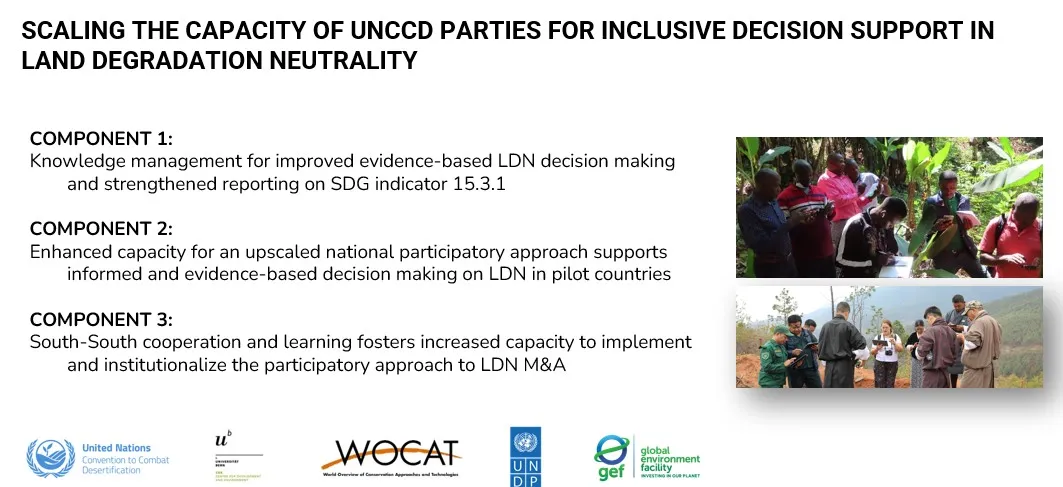
To achieve these objectives the project will work on 3 components:
- Component 1: Knowledge management for improved evidence-based LDN decision making and strengthened reporting on SDG indicator 15.3.1.
- Component 2: Enhanced capacity for an upscaled national participatory approach supports informed and evidence-based decision making on LDN in pilot countries.
- Component 3: South-South cooperation and learning fosters increased capacity to implement and institutionalize the participatory approach to LDN monitoring and assessment
Role of WOCAT/CDE
As the executing partner of the project “Scaling the capacity of UNCCD Parties for inclusive decision support in Land Degradation Neutrality”, CDE leads its implementation and coordination. CDE draws on decades of experience in sustainable land management and participatory knowledge co-production. The project builds on previous efforts led by WOCAT -CDE to strengthen countries’ capacities for monitoring land degradation and scaling sustainable land management (SLM) practices through evidence-based tools and participatory approaches.
Specifically, WOCAT-CDE will:
- Coordinate all project components and partnerships, ensuring coherence and impact at national, regional, and global levels.
- Guide the development and application of participatory approaches to assess land degradation and refine LDN targets in selected countries.
- Lead the co-development and scaling of Land Degradation Neutrality Decision Support Systems (LDN-DSS), ensuring they integrate national, local, and global data for informed planning and reporting.
- Support capacity development through the creation of multilingual training materials and a Training of Trainers (ToT) programme, leveraging the WOCAT network.
- Facilitate South-South learning and cooperation to enable knowledge exchange on LDN assessments, inclusive decision-making, and SLM implementation.